Aerial photography and video that clears the paperwork
Nine years flying Canadian airspace for councils, federal agencies, universities, manufacturers, farms, contractors and developers. Certified for advanced operations, and comfortable with the paperwork that controlled airspace demands.
Winner, 2026 Consumer Choice Award for Drone Services in Guelph & Centre Wellington
Six kinds of client. Six definitions of useful.
Nine years of commercial operation across Canadian airspace, from rural fields to controlled-airspace urban sites. What changes between jobs isn't the flying. It's what the imagery has to prove once it lands on someone's desk.
Municipal & regional government
Infrastructure and public works documentation, road and bridge condition, park and facility planning. Council reports and tender packages need imagery that is dated, repeatable and defensible — not just attractive.
Agencies & universities
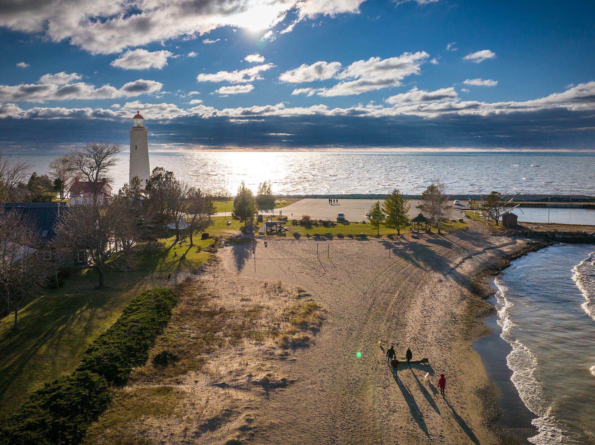
Environmental and shoreline monitoring, research support, campus and facility documentation. These jobs live or die on methodology: same altitude, same path, same conditions, every time, so the data actually compares.
Manufacturing & utilities
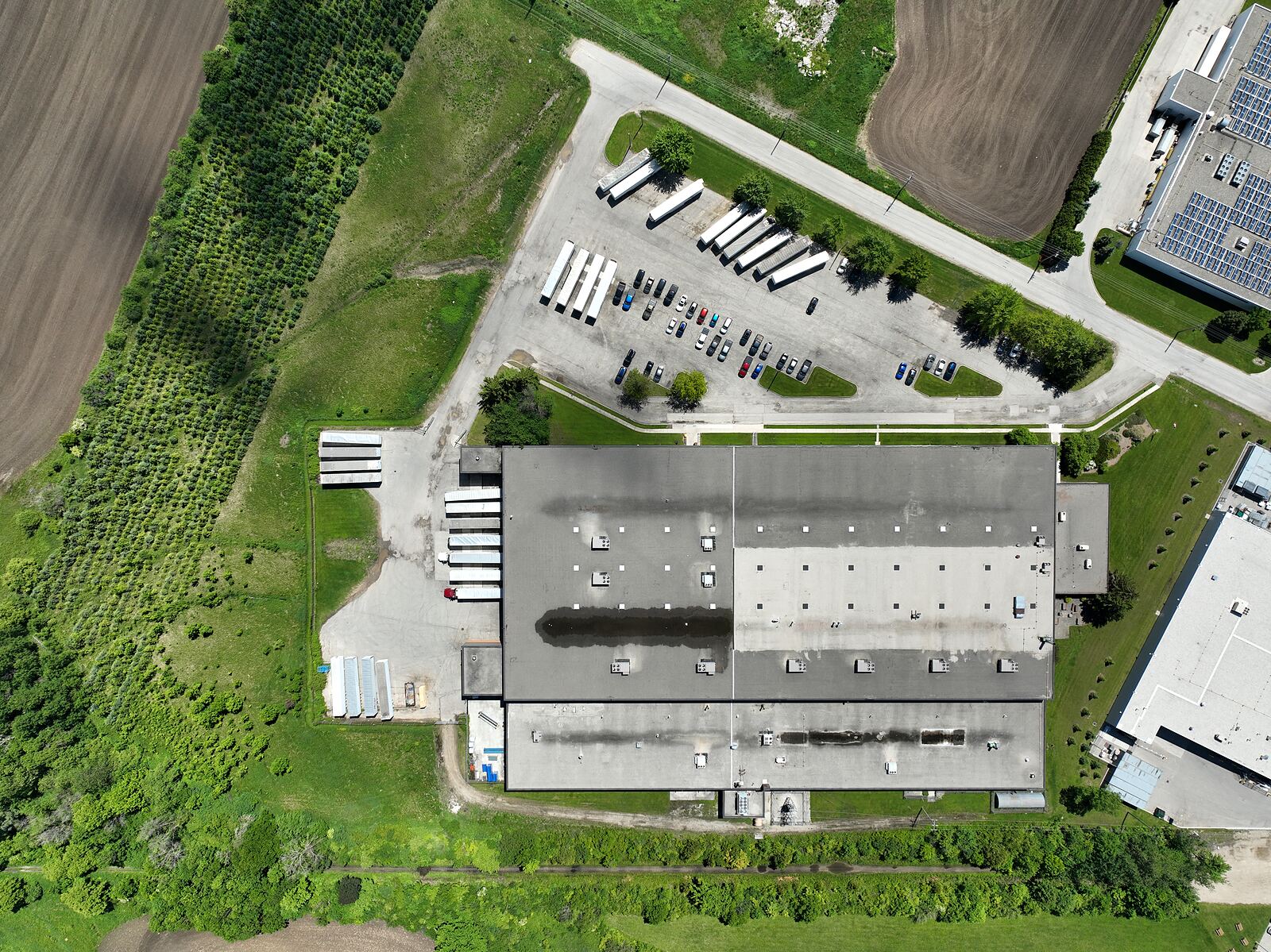
Roof, stack, tank and structure inspection without scaffolding, rope access or a shutdown. Often the real value isn't the photo — it's that nobody had to go up there to get it.
Farm & land operations
Crop and field survey, drainage and flood assessment, seasonal change documentation. Repeat visits flown from the same waypoints so the sequence lines up across a growing season.
Contractors & developers
Progress documentation on a fixed schedule, from consistent positions. Useful for draw reporting, dispute records and — once the build is finished — marketing it.
Real estate & marketing
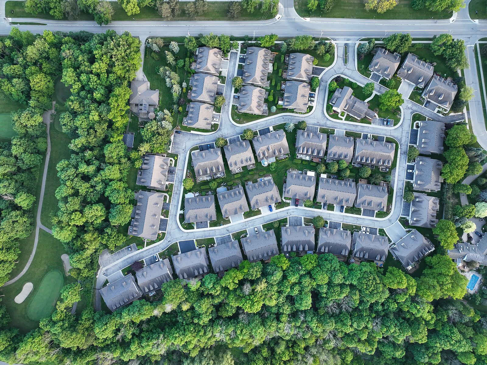
Listing photography, elevated stills that show lot lines and surroundings, and short-form video cut for listings and social. Delivered graded and ready to use, or as a finished edit.
Not on the list? These categories overlap more than they differ. If you can describe the site and what the imagery needs to show, we can tell you whether it's flyable, what airspace permission it needs, and what it costs.
Why certification matters for your shoot
If your site sits in controlled airspace — and most urban sites do — the operation needs a written RPAS Flight Authorization from NAV CANADA, and the pilot needs an Advanced certificate to hold it. Flying closer than 30 metres to bystanders, or over them, has the same requirement.
An uncertified operator either can't do the job or does it unlawfully, which is a problem that lands on you as the client. We hold the certification, file the authorizations, and produce the site survey and risk assessment as part of the job rather than as an afterthought.
Ask any drone operator for three things: their Advanced pilot certificate, the Transport Canada registration of the aircraft they'll fly, and a certificate of liability insurance naming you as an additional insured. If any of the three is slow to appear, keep looking — and if you're an operator wondering what coverage clients actually expect, that's set out here.
Site documentation, month after month.
A single shoot tells you what a site looked like on one day. A documentation programme tells you what happened to it — from the same waypoints, at the same altitude, on a schedule, with every set dated and kept.
Most projects that need this are lending against the build. Draw inspections generally run on a 30 to 45 day cycle, and the imagery is most useful when it lands before the submission rather than after it. We schedule the flight three to five business days ahead of your draw date, and deliver a set that shows exactly what changed since the last one.
It is also the record you will want if the schedule is ever disputed. Timestamped, geolocated, taken from the same position every visit — that is a very different document from whatever was on someone's phone at the time.
Progress set
15 to 20 stills from fixed waypoints, a 60 to 90 second flyover, delivered to a dated folder within 48 hours. Sites to 20 hectares. The straightforward monthly record.
Progress set + map
Everything above, plus an orthomosaic map of the site and a comparison set showing what changed since the previous visit. Back within 24 hours, timed to your draw submission. Sites to 60 hectares.
Documentation
Everything above, plus four 360° panoramas, a branded edit, and a one-page written summary each month. Twelve-hour turnaround, a guaranteed slot in the schedule and a weather backup date held for every visit.
How it is billed. Minimum four visits, invoiced monthly — so a monthly cadence is a four-month commitment and a weekly cadence is one month. There is a one-time CA$850 mobilisation charge on a new site, covering the pre-construction baseline flight, building the repeatable waypoint mission, the airspace authorization, and the contractor onboarding paperwork: certificate of insurance naming you as additional insured, WSIB clearance, RPAS safety assurance declaration and the site-specific flight plan.
What we do not do. Interiors. A drone documents the outside of a building; once the envelope closes, the record that matters most is in the walls, and that is a ground-level job. We will say so rather than sell you a programme that stops being useful at drywall.
What clients say
★★★★★
Chris was very professional and great to work with. He really tried hard to capture what I needed and was very accommodating.Ron Chauvin
★★★★★
Drone's View provides high quality and amazing video and photos. We recently listed a property and used them to shoot…Ben Howes
★★★★★
I couldn't be more pleased with the professionalism, efficiency and friendly service from Chris at Drone's View…Dylan Such
Unedited reviews from clients. Read all 18 on Google.
Common questions.
Where are you based, and how far do you travel?
Guelph, Ontario. Most work sits within an hour of it — Guelph and Wellington County, Kitchener–Waterloo, Cambridge, Hamilton, Brantford, Milton and the surrounding townships — which is close enough to reach a site, fly it and be back the same morning. Beyond that radius the work is still perfectly possible and regularly done; travel is simply quoted with the job rather than absorbed into the day rate. Tell us where the site is and you'll get a number that includes getting there.
How much does a drone shoot cost?
A property or marketing shoot starts at CA$450. A half day on site is from CA$650 and a full day from CA$1,100. A structure or roof inspection starts at CA$500, and a survey delivered as an orthomosaic map from CA$800. Every one of those includes the site survey, the airspace check, the flight and delivery of the imagery. What moves the number is whether the site sits in controlled airspace, how much flying time the coverage needs, and how much editing you want afterwards. Repeat visits are priced differently again, as a documentation programme rather than a series of shoots. Tell us the location and what the imagery has to show and we'll quote properly rather than guess.
Do you do ongoing work, or just one-off shoots?
Both, and they are priced differently. A documentation programme is repeat visits to the same site from the same waypoints on a fixed schedule, from CA$295 per visit with a minimum of four visits, invoiced monthly. That is what construction sites, developments and aggregate operations generally want, because the value is in the comparison between visits rather than in any single set of images. There is a one-time CA$850 mobilisation charge on a new site for the baseline flight, the repeatable waypoint mission, the airspace authorization and the contractor onboarding paperwork.
Do you need permission to fly over my property or site?
Airspace permission and property permission are two separate things. Airspace in controlled zones requires a written RPAS Flight Authorization from NAV CANADA, which we obtain. Access to the land itself is the property owner's to grant, so if you're commissioning a shoot on a site you don't own, that permission needs to come from whoever does. We'll tell you which approvals a given site needs before you commit.
How long does it take to get results?
Flying is usually a half day. Turnaround depends on the deliverable: lightly edited stills come back within a few days, a finished video edit takes longer. If a site needs an airspace authorization, allow lead time before the flight itself — NAV CANADA requests aren't instant, and applying at the last minute is how shoots get postponed.
What happens if the weather is bad?
We reschedule. Wind, precipitation and low cloud all affect whether a flight is safe and legal, and marginal conditions produce imagery you wouldn't want anyway. We monitor the forecast ahead of a booked date and will tell you early rather than on the morning.
Who owns the footage?
Worth agreeing in writing before the flight rather than after. Licensing terms vary with the job — a one-off marketing shoot and an ongoing documentation contract are different arrangements. Raise it when you inquire and we'll set out what's included.
Can you fly indoors or inside a building?
Indoor flight sits outside the Canadian Aviation Regulations, because CARs Part IX governs navigable airspace. That makes it a matter of site safety and the building owner's rules rather than Transport Canada's. It's often practical for warehouse, plant and large interior spaces — ask and we'll assess the specific site.
Get a quote
Property and marketing shoots from CA$450. Half day on site from CA$650, full day from CA$1,100. Structure and roof inspection from CA$500; survey and orthomosaic mapping from CA$800. Each includes the pre-flight site survey, the airspace check, the flight and delivery of the imagery.
Repeat visits are a documentation programme rather than a run of separate shoots, and are priced per visit from CA$295.
Tell us the location, the type of shoot, and roughly when — we'll come back with availability, cost, and whether the site needs an airspace authorization.
Looking to book an Advanced RPAS flight review instead? That has its own form — book a flight review.
Want to fly commercially yourself?
Start with the Advanced certificate. Our guide covers the exam; we run the flight review.
Get the guideIf your organisation is standing up its own drone programme
Complex and BVLOS work has to be flown under an RPAS Operator Certificate, and the certificate obliges the company — not the pilot — to hold an operations manual, a maintenance control manual, documented safety processes and a training programme. Transport Canada issues the certificate on declaration, immediately, without reading any of it; the documentation is checked afterwards, by inspection.
The RPOC Application Pack is what we would hand a client asking where to start: a guide worked out from the regulations, fourteen editable templates, and a completed example. It is template and guidance material rather than a consulting engagement, and it is priced accordingly.
See what’s in itGet the Canadian drone rules on one page
Every core limit for Basic and Advanced operations — altitudes, distances from people and airports, airspace and the fines for getting it wrong. Printable for the flight bag. We'll also email you when the rules change.
No spam, unsubscribe anytime. You'll get a confirmation email to finish signing up.
Almost there — check your inbox and confirm your subscription.
Download the cheat sheet now →